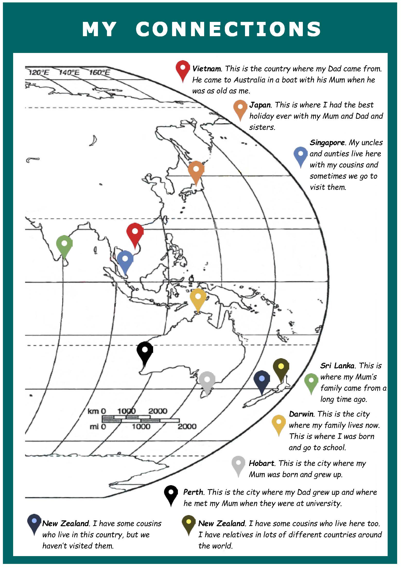
My connections
Summary of task
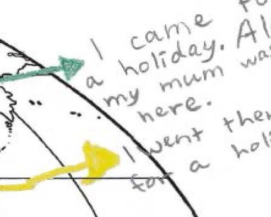
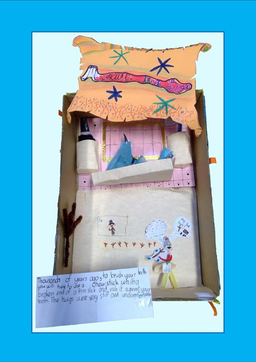
Students discussed their personal connections to places in the world beyond Australia, particularly the Asia-Pacific region. Students then labelled and annotated a teacher-provided map of the region to indicate and explain these connections. The task was completed in class in two 50-minute lessons, with students also provided with the opportunity to consult with parents and carers out of class time.
Achievement standard
By the end of Year 2, students identify the features that define places and recognise that places can be described at different scales. Students recognise that the world can be divided into major geographical divisions. They describe how people in different places are connected to each other and identify factors that influence these connections. They explain why places are important to people, recognising that places have meaning.
Students pose questions about familiar and unfamiliar places and answer them by locating information from observations and from sources provided. They represent data and the location of places and their features in tables, plans and on labelled maps. They interpret geographical information to draw conclusions. Students present findings in a range of texts and use simple geographical terms to describe the direction and location of places. They suggest action in response to the findings of their inquiry.
Annotations overview
Identifies connections between individuals, groups and places in Australia and Asia
 1
2
3
4
5
1
2
3
4
5
-
Annotations
-
1
Learning Area
Identifies a range of reasons for a personal connection to a place -
2
Subject - Geography
Identifies a range of reasons for a personal connection to a place -
3
Learning Area
Reflects on a variety of ways in which connections to places can be shaped and influenced -
4
Subject - Geography
Uses specific terms to denote position or location -
5
Subject - Geography
Reflects on a variety of ways in which connections to places can be shaped and influenced